Monday, June 30, 2014

Paddling The Days Away


I have been living in Tupper Lake for a month now but had yet to explore the Raquette River, and this past Sunday I had a day off and the need to go. I serendipitously met a friend wandering the trails by the river, and we decided to go explore.


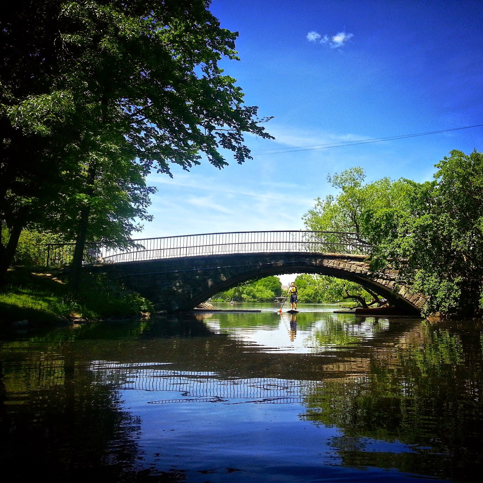
We launched one of the hunter green Wenonahs and took a spin around the oxbow so I could practice my budding naturalist skills (meadowsweet is a natural bug repellent, folks). In the bog we drifted right up to a family of ducklings and their mom browsing along the pickerel weed and waterlilies. Canoes are one of those wonderfully silent vessels that can slip along unnoticed by most wildlife, and so we got very close to the little yellow puffballs. It is a unique and thrilling feeling to travel silently; the world opens up around you and reveals the little things you always hope to see.


We paddled on, no particular plan or goal in mind, exploring this small watery part of the world. When we were hungry we pulled into a bog to eat and drift about, when we were tired we lay back in the canoe and drifted in the shade. Summer is in full swing up here and when it finally got too hot to bear we ran with the current back to the dock for a late afternoon swim. Absolute paradise, I highly suggest you join me next time.


This past weekend also marked the beginning of my season as a canoe guide for the Wild Center, so I will be happily paddling away on the Raquette for the rest of the summer. Interspersed with some other adventures, of course. 


Cape Cod Snapshots

Just got back from a long weekend down on the Cape. Here are some photos from the trip:

Stage Harbor Lighthouse, Chatham, Ma.

Wednesday, June 25, 2014

Cycling, a Love Story


At age 15, I saw the Tour de France. There wasn’t even time to spot Lance, just a blur of colors and a whoosh of air. A mass of quads pumping away. My friends and I wore handmade shirts that read “Le Tour de France belongs to Lance!” After the mass of cyclists in bright colored jerseys had passed, we found the road littered with their discarded water bottles.

At age 18, I got my first road bike.

At age 21, I completed my first metric century.

At age 22, I completed my first century.

And somewhere along the way, I fell in love with cycling.


Friday, June 20, 2014

Alone in the Woods

I have had the idea of doing a solo trip simmering on the back burner of my mind for a while now, and the opportunity finally presented itself this past weekend. With two entire days off, good weather, and enough oatmeal to swim in, the conditions were perfect. Off I went.

It took two cups of strong coffee to get me on the road Monday morning, but thankfully you can't be late to an appointment with the wilderness. There was heavy cloud cover as I drove from Tupper Lake towards the High Peaks, and the earth was still damp from the downpour of the past few days. As I crested the hill into Lake Placid I spotted my first patch of blue sky, and I actually whooped  out loud. A small patch of sun in the Adirondacks can be greatly deceiving, but I had a good feeling about this one.

My good feeling grew as I turned onto the access road for the Adirondack Loj. Directly before that turn is one off the greatest views of the High Peaks; the green fields of the valley rush into the sudden skyline of the mountains. The sky was still grey but the mountains were taking on the infamous Adirondack shade of blue that promises a good day.

At the Loj I rented a bear canister that comes dangerously close to being human-proof and readied my pack. I was antsy to get into the woods, and so I plunged in quickly. In the register at the trail head for Indian Pass I accounted for myself for one night, and the reality that I was about to spend a night alone in the woods set in, and it was thrilling.

No more than half a mile into the trail I began criss-crossing swollen brooks, and from that moment on the sound of moving water was the insistent backdrop of my trip. For the most part the river is just out of sight, and the only water I was crossing were those little mountain streams that pop up after rain storms and run themselves dry in a few days. A few miles in, however, the trail turned and ran right along the river, and eventually in the river itself. There was one memorable spot where the trail marker was fixed to a tree in the middle of the river.

As the trail approached the pass it began rising steeply upwards, and I found myself scrambling up a nearly vertical boulder field along a waterfall. Between two of the boulders my foot broke through a thin layer of moss, and my entire leg disappeared up to the hip. For a moment I was swallowed up by the mountain, and I had to dig my nails into the boulder's coat of wet moss to climb my way out of it. Amazingly I was unhurt beyond a scrape, but I had to sit down and let my heart rate settle. Danger takes on a whole new meaning when you are alone in the woods; whatever you get yourself into, you have only yourself to save you. I was lucky this time, and in just a few moments I was scrambling back up the trail.

The real treat of crossing Indian Pass is the views of the cliffs on Wallface Mountain. I caught them just as they were reflecting the long light of late afternoon, rising grandly all around me. Nothing like a good cliff to remind you how small and transient you are. I rewarded myself with a snickers, brushed the drying mud off my calves, and shouldered my pack for the descent to my campsite.

I stayed that night at Scott's Clearing Lean-to. I was the only tenant that evening, and so I was able to spread my hammock from the rafters and sing while I cooked dinner. After dinner I read until the light faded, then tucked myself into my hammock. It was cold that night-Adirondack cold-and so I pulled on my puffy jacket for an added layer of warmth. As I was hunkering down I felt a strange lump in my pocket. I reach in and found...a small plastic banana. I had hid it in a friend's boot a few weeks ago, and she had managed to slip it into my pocket without me noticing before I left. I laughed myself to sleep, plastic banana in hand. Solitude may be good for me every now and then, but friends are what pulls us wanderers back out of the woods.

Wally Man Triathlon 2014: Race Recap

This past weekend, my family, the boy and I drove down to Hawley, PA for the inaugural Wally Man Triathlon. As I have mentioned in a couple previous blog posts, my brother is one of the race directors putting on the event for Evolve Sports, LLC. I was a participant in the Olympic distance triathlon, while the rest of the crew were volunteers.


Here is a short race recap:

(Weather was partly cloudy, around 60 degrees, and breezy.)

Swim (0.9 miles): The women’s Olympic wave was second to go, five minutes after the Olympic men’s wave. The race commenced with the firing of a starter pistol, which got everyone’s heart racing. Most people, me included, wore a wetsuit more so for buoyancy than warmth. The visibility was low, and you could get a glimpse of the occasional weed floating beneath you. Once clear of the small cove, the water was very choppy. I could feel myself bobbing up and down with the windward-driven waves. A flotilla of kayaks, SUPs and pontoon boats guarded the swim area and watched for anyone in distress.

T1: Out of the water, ran to my bike. Struggled to get my wetsuit off, to be expected. Wiped my feet dry, put on socks and shoes (forgot to tuck my shoelaces in), threw on my shirt, and got my helmet. Stuffed 2 GU chomps into my mouth and off I went.

Bike (~24 miles): To say the course was hill would be an understatement. By the end of the bike, I was exhausted. That being said, the course was beautiful and scenic. You biked past sprawling farmland and up on open ridges where you could see for miles. Unfortunately, open ridges are not so welcome when it’s windy, and there was a steady breeze. It was pretty cool to bike on the runway of the local airport, but tight turns made for slow going. I also missed a turn on to the runway, from what I heard I wasn’t the only person to do so. Only drank once on the bike. Oops! The last couple of miles were somewhat of a struggle for tired legs, and a few people caught up and passed me with 4 miles to go.

T2: Dropped my bike off; retied my shoes. My mom saw me and asked if I was ok. No, Mom. I just got my ass kicked on the bike and now have to run 5 miles. Took a sip of water. Ran out of the transition area. Stopped to go to the bathroom, while the clock was running on my run portion. Oh, well.

Run (5+ miles): Billed as flat and fast. Not so flat, not so fast. Just more rolling hills of the Poconos on an out and back lollipop course. Enjoyed the shade, which there was lots of on this course. Ran on the wide shoulder of route 507 for the majority of the course.  Plenty of water stops, with Gatorade and oranges, which was greatly appreciated. Saw lots of other competitors, which was great and uplifting. (Yay, Foster & Greg James!) Last mile or so was on a dirt path alongside the lake, which ran on top of a dike for about ¼ mile, and then back into the trees to the finish.

Overall, it was a great, but challenging race. Well done, boys! A huge thank you to all the participants, volunteers, sponsors, and friends and family who came along for the ride. You truly made it a memorable experience. Can't wait for next year!


Thursday, June 19, 2014

Tripyramids Round 2

The last hike I had done was for mother’s day, and with the summer soon upon us, I was itching to get out to the mountains again. This past winter, some friends and I had hiked Middle Tripyramid from the Kanc. Due to tough conditions and our exhausted state, we had decided to just hit one peak, and left North and South Tripyramid for a later date. 

We pulled into the Livermore Road parking lot. I was surprised to see we were the only car there at 8:30am, but that didn’t last long. Fifteen minutes later, we were on our way, walking at a fast clip up the dirt road. The first couple miles are on a wide backcountry access road, which follows a brook as it gradually gains elevation. 

We took a quick detour to Norway rapids, 0.1 miles off of Livermore Road. The path was not well worn, and it led out onto a rocky riverbed, pock marked with several glacial potholes. The river flowed down the far side in a small series of waterfalls and rapids. Above us, the thick canopy of green leaves blocked much of the sun, only allowing in a smattering of dappled sunshine. The water was clear, and the wet rocks were slick with moss. Upstream the river rounded a bend, and the sunshine poured in. It was peaceful, secluded and beautifully mesmerizing.

At the trail junction we followed the trail that read 1.2 miles to North Tripyramid. After a 15 minute hike through the forest, we come to the base of the north slide, a huge scar on the mountainside visible from miles away. The bottom of the slide is no more than 10-15ft wide and is a mixture of downed tree limbs, massive boulders and gravel. It goes straight up. The trail up the north slide is one of the most difficult trails in the White Mountains, second only to the Huntington ravine trail in terms of steepness, and exposure.

I am scrambling up, holding on to whatever handholds I can find: rock, root, or tree. Once or twice I freeze up; I don’t like heights, or large exposed steep areas. It kind of freaks me out. The boy doesn’t enjoy heights either, but it doesn’t affect him as much and he’s enjoying the challenge of the scramble. We stop often to catch out breath, or to look for the trail ahead and find a suitable route.

Resting on the slide, we sip water and look out at some of the finest views in the Whites. Straight ahead sits Osceola; off to the left the trails of Waterville Valley can been seen next to the summit of Tecumseh; Franconia Ridge is partially obscured by Osceola, and the summit of Garfield pokes out over the shoulder of Osceola; in the far distance are the ridges of Tom, Field & Willey…and further northeast, the Presidential Range. If you turn your gaze to the far right, the distinctive humpback of Carrigain rises up. And if you look down, the trail drops away steeply, hundreds of feet.
We can hear another group of hikers below, but they’re out of sight. Ahead the slide appears to be an endless steep collection of slabs of rock and boulders and sandy gravel, all of which makes for tricky hiking conditions. We spy a yellow blaze, the first one we have seen all day. A few cairns rise about the slope, but the trail is sparsely marked, and we follow a route up the left portion of the slide, and then cross over to the right through a dense cluster of small trees and reconnect with the trail. A hundred yards later, we reach the top of the slide, and head back into the forest onto a mossy root-filled trail to the top of North Tripyramid. The shade is most welcome and the cool forest offers relief from the bright sunshine; our legs have been zapped of energy.

The summit of North Tripyramid is unimpressive and offers few views; one down, two to go. Relatively, the trail along the ridge is easy as it meanders along the ridge. A short but steep climb leads up to the top of Middle Tripyramid, which has views towards Passaconaway and the Kanc. Here we stop for a while to eat. Taking our packs off, the sweat slowly evaporates and we scarf down peanut butter Ritz Bitz, beef jerky, and trail mix. Some clouds have rolled in, and a slight breeze keeps the bugs away.

Onwards! After a short and steep descent, the trail gradually heads back up South Tripyramid’s wooded summit. From here, the trail drops quickly and soon comes out onto the south slide, a much smaller, narrower slide consisting of small boulders, gravel and pebbly sand. On tired legs, we carefully descend. We encounter a few backpackers, headed up to North Tripyramid for the night. They tell us they plan to head down the north slide; we tell them they might want to come back the way they came. I can’t imagine going down the north slide, not to mention with a heavy pack to throw off your center of balance.

After reaching the bottom of the south slide, the remainder of the trail is a gentle woods walk back to Livermore. Less than a mile from the trailhead, I spotted a huge boulder by the river. I wanted to go check it out. So we took a detour to the boulder; it was a massive glacial erratic. The boy took off his shirt and shoes, and wadded in up to his knees; then he jumped right into the chilly water. (Note: The following day, the boy jumped in the ocean, which he said was warmer than the mountain brook.)


Thursday, June 12, 2014

Whiteface and Spring Flowers

I hiked up this mountain that most people drive up. Can I get a masters for that?

Chill out, Hiking Pole Hikers. These rocks haven't been hanging around for millions of years to be marked up by you.


Wild Columbine

Painted Trillium

Tuesday, June 10, 2014

Boston: On the Charles


Sunday morning, the boy and I headed into Boston early to take advantage of the gorgeous day that was forecasted. The weekend prior, I had been walking around Cambridge with a friend when I stumbled upon Charles River Canoe & Kayak Co. in Kendall Square. This past week I did a little research and was surprised to find that the price of a rental was reasonable. 

Upon arriving at the dock, we signed waivers, took a quick safety quiz, grabbed a dry bag for our backpack and headed down the launch. I opted for a kayak, while the boy chose to SUP (stand-up paddleboard). To be honest, I went for the kayak because the notion of falling into the Charles River seemed a little gross; it's not the cleanest river around. 

We paddled down Broad Canal, passing underneath First Street and Memorial Drive, and came out into the Charles River. To our left was the Museum of Science and to our right was the Longfellow Bridge. At 9:30am, the river was fairly quiet. The only boats we saw were canoes, kayaks, SUPs, and a few rowing sculls. We continued on, past the Harvard Bridge and then crossed the river to the opposite shore. We paddled through the Esplanade, which was bustling with people. 

I must say, it was a strange combination of natural beauty and the filth of a city. There was abundant trash, duckweed, and dead fish, which took away from the adorable bridges, the ducks and their ducklings, and water lilies in bloom. It was a little oasis in the middle of a concrete jungle and it was clear to me that the people of Boston appreciated it, and used it.  


By the time we emerged back onto the main section of the Charles, the waterway had gotten much busier. Sailboats dotted the horizon, duck boats zoomed around packed with tourists and small boats zipped up and down the river. The wind had picked up, and there was a steady breeze. The sun beat down relentlessly and the only shade to be found was underneath the bridges. Back at the Longfellow Bridge, we stopped for a while to rest before calling it a day and heading back to the launch. 

All in all, it was a great adventure. I would definitely do it again, maybe a sunset paddle. We left happy, refreshed and slightly sunburnt. 


Sunday, June 8, 2014

Little Wolf Pond

When you're not getting your masters you can spend your sunsets doing yoga in a lake.

There are 300,000 mosquitos in this photo